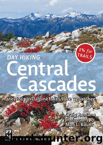
Day Hiking Central Cascades by Craig Romano

Author:Craig Romano
Language: eng
Format: epub, azw3
ISBN: 9781594853197
Publisher: The Mountaineers Books
Published: 2012-02-29T16:00:00+00:00
Enchanting Upper Snow Lake and McClellan Peak (Craig Romano photo)
At about 2.25 miles enter a cool grove of old cedars, a welcome relief from the heat. Pleasantly amble a ways creekside through refreshing forest before beginning another round of switchbacks. This time, however, they’re much rougher and steeper as the trail heads up rocky gullies and across slides, working its way to a hanging valley.
At about 4.25 miles pass a showy cascade, and shortly afterward cross Snow Creek on a reliable bridge (elev. 4100 ft). Pleasant walking resumes as the trail passes a lot of nice spots along the creek for snacking and napping (or calling it quits). Farther along, the trail breaks out of forest to traverse a talus slope before arriving at Nada Lake at 5.5 miles (elev. 4900 ft), which is really quite a pleasant lake.
Take a break along the shallow finger lake, admiring its mountain reflections, or push on another mile, climbing up a hot talus slope to a forested gap (elev. 5450 ft) before dropping a tad to the Snow Lakes (elev. 5415 ft). Set in a wide-open basin beneath jagged and spiraling peaks, and separated by a small irrigation dam, these two lakes are among the largest in the Enchantments.
For the best viewing, napping, and feet-soaking spots, you’ll need to walk across the dam. But with water cascading over it, it may appear intimidating. If the flow is low, just take it slow and you’ll be good to go. Views of the 8292-foot Temple and the large, rocky, snow-blotched cirque beneath 8364-foot McClellan Peak from the pined shoreline of Upper Snow are awesome. The lower lake, with its shoreline of granite ledges, looks like it’s right out of the Canadian Shield. You can spend days up here, and it’s easy to see why most hikers do. Perhaps a return trip is in order with tent and sleeping bag. Just don’t forget to apply for the permit.
WATER, WATER EVERYWHERE!
Within an approximately 50-mile-long rugged tract of the Cascades, tucked between US 2 and I-90, are more than 700 alpine lakes—one of the highest concentrations of mountain lakes anywhere. And because the area is wedged between two of the state’s busiest highways, within an hour or two’s drive for over half the state’s population, it should come as no surprise that many of these beautiful high-country lakes are among the most popular in the Cascades.
In 1968 a group of concerned citizens formed the Alpine Lakes Protection Society (ALPS) to help protect this special area from logging, off-road vehicles, and other threatening activities. After nearly a decade of hard work by citizens, legislation spearheaded by Democratic congressman Lloyd Meeds was passed by Congress in 1976, creating the 393,360-acre Alpine Lakes Wilderness Area.
Now, due to the area’s overwhelming popularity, the Alpine Lakes need protection from the very people who sought to protect them. In essence, large numbers of hikers and equestrians are loving the Alpine Lakes Wilderness to death. To protect this fragile area from overuse, the Forest Service
Download
This site does not store any files on its server. We only index and link to content provided by other sites. Please contact the content providers to delete copyright contents if any and email us, we'll remove relevant links or contents immediately.
| Birdwatching | Boating |
| Canoeing | Caving & Spelunking |
| Cycling | Fishing |
| Hiking & Camping | Hunting |
| Iditarod & Dog-Sledding | Kayaking |
| Mountaineering & Climbing | Rafting |
| Sailing | Scuba |
| Skiing | Snowboarding |
| Surfing |
Ultimate Navigation Manual by Lyle Brotherton(2151)
Welcome to the Goddamn Ice Cube by Blair Braverman(2030)
The Box by Marc Levinson(1975)
Animal Speak by Ted Andrews(1610)
Diver Down by Michael Ange(1496)
Backcountry Bear Basics by Dave Smith(1457)
Living_by_the_Code_v1.1.1 by 2019(1385)
Jazz by Toni Morrison(1310)
DK Eyewitness Travel Guide Japan by DK Travel(1286)
The Backpackers Handbook by Chris Townsend(1274)
100 Deadly Skills: Survival Edition by Clint Emerson(1242)
One of the Guys by A.R. Perry(1223)
The Boys in the Cave by Matt Gutman(1183)
Blind Descent by James M. Tabor(1119)
Another Country (Vintage International) by James Baldwin(1087)
006 White Water Terror by Carolyn Keene(1064)
The Tree Climber's Guide by Jack Cooke(1062)
365 Days Wild by Lucy McRobert(1057)
The White Spider by Heinrich Harrer(1037)
